File:Vratsa Province location map.svg

Size of this PNG preview of this SVG file: 800 × 504 pixels. Other resolutions: 320 × 202 pixels | 640 × 404 pixels | 1,024 × 646 pixels | 1,280 × 807 pixels | 2,560 × 1,614 pixels | 1,540 × 971 pixels.
Original file (SVG file, nominally 1,540 × 971 pixels, file size: 359 KB)
Summary
| Description |
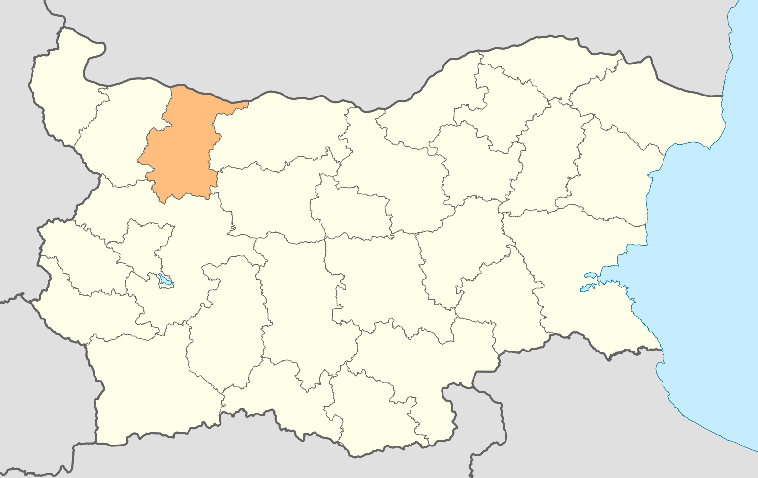
English: Location map of Vratsa Province
Български: Позиционна карта на Област Враца |
||
| Date | |||
| Source | Derivative work by the uploader of Image:Bulgaria location map.svg; | ||
| Author |
NordNordWest, the copyright holder of this work, hereby publishes it under the following licenses:
This file is licensed under the Creative Commons Attribution-Share Alike 3.0 Unported license. Attribution: NordNordWest
You may select the license of your choice. |
||
| Permission (Reusing this file) |
виж по-долу | ||
| Other versions | File:Oblast Vratsa.png |

File history
Click on a date/time to view the file as it appeared at that time.
| Date/Time | Thumbnail | Dimensions | User | Comment | |
|---|---|---|---|---|---|
| current | 18:47, 7 October 2010 | | 1,540 × 971 (359 KB) | Пакко | ops |
| 18:47, 7 October 2010 |  | 1,540 × 971 (359 KB) | Пакко | right one | |
| 18:41, 7 October 2010 |  | 1,540 × 971 (348 KB) | Пакко | upg | |
| 17:55, 9 August 2010 |  | 1,540 × 971 (217 KB) | Пакко | just change the colour | |
| 19:40, 3 August 2009 |  | 1,534 × 967 (207 KB) | Пакко | fixed some borders according to current administrative division | |
| 17:22, 31 July 2009 |  | 1,534 × 972 (206 KB) | Пакко | {{Information |Description={{en|1=Location map of Vratsa Province}} {{bg|1=Позиционна карта на Област Враца}} |Source=Derivative work by the uploader of Image:Bulgaria location map.svg; |Author={{self|author=[[User:NordNor |
File usage
There are no pages that use this file.
Global file usage
The following other wikis use this file:
- Usage on da.wikipedia.org
- Usage on de.wikipedia.org
- Usage on fi.wikipedia.org
- Usage on fr.wikipedia.org
- Usage on he.wikipedia.org
- Usage on hr.wikipedia.org
- Usage on id.wikipedia.org
- Usage on lt.wikipedia.org
- Usage on nn.wikipedia.org
- Usage on pl.wikipedia.org
- Usage on sco.wikipedia.org
- Usage on sk.wikipedia.org
- Usage on sl.wikipedia.org
- Usage on sq.wikipedia.org
- Usage on ur.wikipedia.org
- Usage on zh-min-nan.wikipedia.org
- Usage on zh.wikipedia.org