File:Somalia (orthographic projection) highlighted.svg

Size of this PNG preview of this SVG file: 550 × 550 pixels. Other resolutions: 240 × 240 pixels | 480 × 480 pixels | 768 × 768 pixels | 1,024 × 1,024 pixels | 2,048 × 2,048 pixels.
Original file (SVG file, nominally 550 × 550 pixels, file size: 426 KB)
_highlighted.svg)
Summary
| Description |
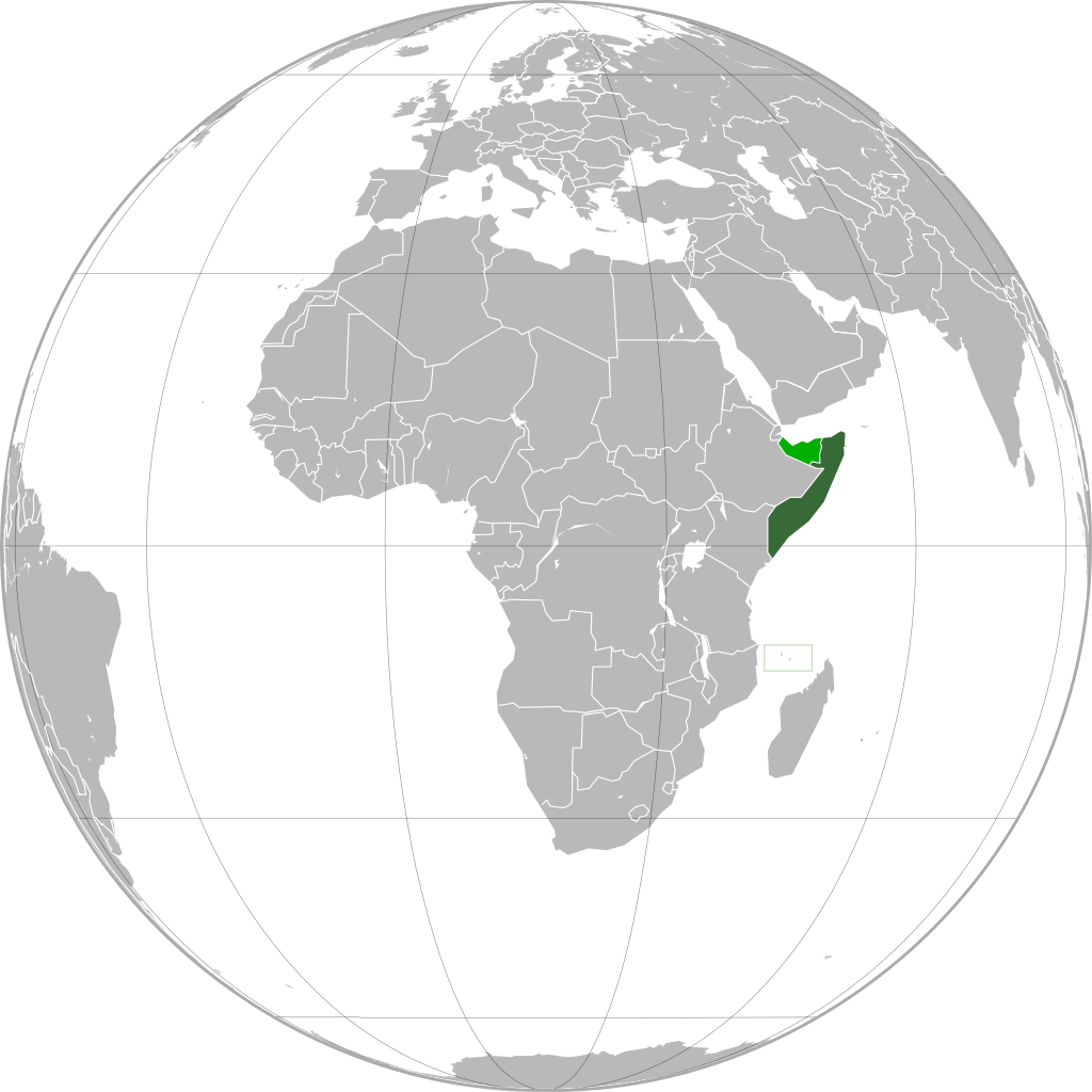
English: Location of Somalia. Area controlled by breakaway Somaliland are highlighted in light green. |
| Date | |
| Source | modified File:Somalia_(orthographic_projection).svg |
| Author | Dinamik |
.svg)
Licensing
This file is licensed under the Creative Commons Attribution-Share Alike 3.0 Unported license.
- You are free:
- to share – to copy, distribute and transmit the work
- to remix – to adapt the work
- Under the following conditions:
- attribution – You must give appropriate credit, provide a link to the license, and indicate if changes were made. You may do so in any reasonable manner, but not in any way that suggests the licensor endorses you or your use.
- share alike – If you remix, transform, or build upon the material, you must distribute your contributions under the same or compatible license as the original.
File history
Click on a date/time to view the file as it appeared at that time.
| Date/Time | Thumbnail | Dimensions | User | Comment | |
|---|---|---|---|---|---|
| current | 08:00, 8 February 2012 | | 550 × 550 (426 KB) | Nicolay Sidorov | ... |
| 23:44, 23 January 2010 |  | 680 × 680 (242 KB) | Dinamik | == {{int:filedesc}} == {{Information |Description= {{ru|Расположение Сомали. Территории, контролируемые Сомалиленд, выделены цветом.}} {{en |
File usage
The following page uses this file:
Global file usage
The following other wikis use this file:
- Usage on en.wikipedia.org
- Usage on he.wikipedia.org
- Usage on it.wikipedia.org
- Usage on ja.wikipedia.org
- Usage on ko.wikipedia.org
- Usage on trv.wikipedia.org
- Usage on tr.wikipedia.org
- Usage on uk.wikinews.org
- Usage on zh.wikipedia.org
_highlighted.svg)