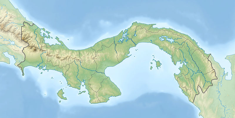
File:Panama relief location map.jpg

Size of this preview: 800 × 403 pixels. Other resolutions: 320 × 161 pixels | 640 × 322 pixels | 1,024 × 516 pixels | 1,280 × 644 pixels | 2,187 × 1,101 pixels.
Original file (2,187 × 1,101 pixels, file size: 899 KB, MIME type: image/jpeg)
File history
Click on a date/time to view the file as it appeared at that time.
| Date/Time | Thumbnail | Dimensions | User | Comment | |
|---|---|---|---|---|---|
| current | 18:04, 1 January 2014 |  | 2,187 × 1,101 (899 KB) | NordNordWest | + Panama Oeste |
| 16:21, 22 July 2009 |  | 2,187 × 1,101 (785 KB) | Alexrk2 | Enhanced admin borders | |
| 14:00, 19 July 2009 |  | 2,186 × 1,101 (774 KB) | Alexrk2 | changed dim | |
| 13:53, 19 July 2009 |  | 2,186 × 1,101 (772 KB) | Alexrk2 | == Beschreibung == {{Information |Description={{en|1=Physical location map of Panama Equirectangular projection. Geographic limits of the map: * N: 10.28° N * S: 6.79° N * W: 83.56° W * O: 76.64° W}} {{de|1=Physische Positionskarte von |
File usage
The following page uses this file:
Global file usage
The following other wikis use this file:
- Usage on als.wikipedia.org
- Usage on ar.wikipedia.org
- Usage on arz.wikipedia.org
- Usage on ast.wikipedia.org
- Usage on avk.wikipedia.org
- Usage on az.wikipedia.org
- Usage on ban.wikipedia.org
- Usage on ba.wikipedia.org
- Usage on be-tarask.wikipedia.org
- Usage on be.wikipedia.org
- Usage on bg.wikipedia.org
- Usage on bn.wikipedia.org
- Usage on bs.wikipedia.org
- Usage on ca.wikipedia.org
- Usage on ceb.wikipedia.org
- Usage on ce.wikipedia.org
- Usage on ckb.wikipedia.org
- Usage on cs.wikipedia.org
View more global usage of this file.


