File:Morocco location map.svg

Size of this PNG preview of this SVG file: 737 × 600 pixels. Other resolutions: 295 × 240 pixels | 590 × 480 pixels | 944 × 768 pixels | 1,259 × 1,024 pixels | 2,517 × 2,048 pixels | 1,223 × 995 pixels.
Original file (SVG file, nominally 1,223 × 995 pixels, file size: 278 KB)
Summary
| Description |
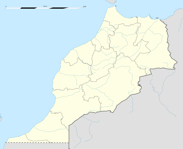
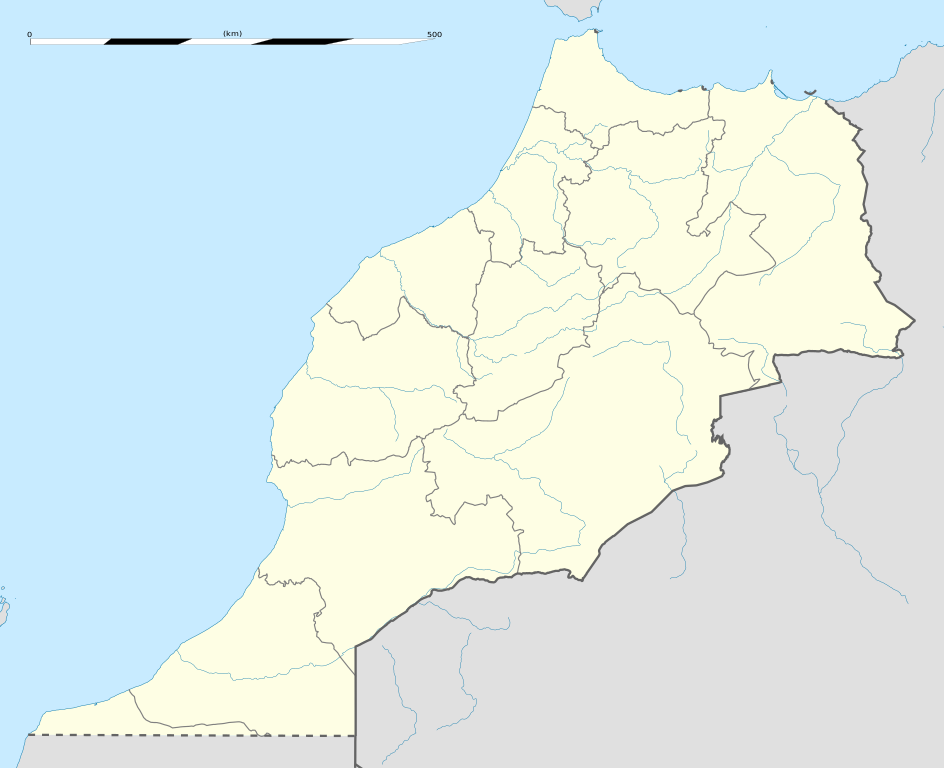
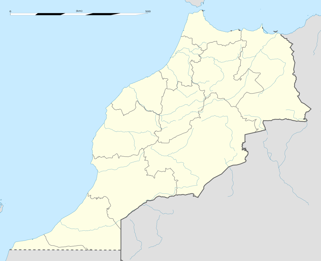
English: Blank administrative map of Morocco, for geo-location purposes.
Français : Carte administrative vierge du Maroc, destinée à la géolocalisation. Scale: 1:4,000,000 (precision: 1,000 m)
Geographic limits of the map:
|
||
| Date | |||
| Source |
Own work
|
||
| Author | Eric Gaba (Sting - fr:Sting) | ||
| Permission (Reusing this file) |
|
||
| Other versions |
Derivative works of this file: Marruecos1909.PNG
|

| Camera location | | View this and other nearby images on: OpenStreetMap |
|---|
Licensing
I, the copyright holder of this work, hereby publish it under the following licenses:
This file is licensed under the Creative Commons Attribution-Share Alike 3.0 Unported license.
- You are free:
- to share – to copy, distribute and transmit the work
- to remix – to adapt the work
- Under the following conditions:
- attribution – You must give appropriate credit, provide a link to the license, and indicate if changes were made. You may do so in any reasonable manner, but not in any way that suggests the licensor endorses you or your use.
- share alike – If you remix, transform, or build upon the material, you must distribute your contributions under the same or compatible license as the original.

|
Permission is granted to copy, distribute and/or modify this document under the terms of the GNU Free Documentation License, Version 1.2 or any later version published by the Free Software Foundation; with no Invariant Sections, no Front-Cover Texts, and no Back-Cover Texts. A copy of the license is included in the section entitled GNU Free Documentation License. |
You may select the license of your choice.
File history
Click on a date/time to view the file as it appeared at that time.
| Date/Time | Thumbnail | Dimensions | User | Comment | |
|---|---|---|---|---|---|
| current | 02:04, 14 January 2021 | | 1,223 × 995 (278 KB) | Rais Namiq | Reverted to version as of 20:57, 27 December 2016 (UTC) |
| 01:58, 14 January 2021 |  | 3,066 × 3,146 (17 KB) | Rais Namiq | Including Western Sahara | |
| 20:57, 27 December 2016 |  | 1,223 × 995 (278 KB) | Gajmar | 2015 regions (OSM data) | |
| 20:33, 21 November 2009 |  | 1,223 × 995 (237 KB) | Sting | Putting back the southern dotted boundary (regarding Western Sahara's location map) | |
| 01:22, 21 November 2009 |  | 1,223 × 995 (237 KB) | Sting | Several little corrections | |
| 00:11, 21 November 2009 |  | 1,223 × 995 (236 KB) | Sting | == {{int:filedesc}} == {{Location|31|46|30|N|7|04|30|W|scale:5000000}} <br/> {{Information |Description={{en|Blank administrative map of Morocco, for geo-location purposes.}} {{fr|Carte administrative vierge du Maroc, destin� |
File usage
The following 7 pages use this file:
Global file usage
The following other wikis use this file:
- Usage on af.wikipedia.org
- Usage on am.wikipedia.org
- Usage on an.wikipedia.org
- Usage on ar.wikipedia.org
- كأس الأمم الإفريقية 1988
- تيفلت
- قالب:خريطة مواقع المغرب
- سلا الجديدة
- واد القصب
- بطولة إفريقيا تحت 23 سنة لكرة القدم 2011
- قاعدة القنيطرة الجوية
- كأس العالم للأندية 2013
- بطولة إفريقيا تحت 17 سنة لكرة القدم 2013
- تلات نيعقوب
- ويكيبيديا:الميدان/تقنية/أرشيف/2013/يناير
- كأس العالم للأندية 2014
- قائمة مواقع التراث العالمي في المغرب
- قالب:خريطة مواقع التراث العالمي في المغرب
- بوابة:التراث العالمي/خريطة مختارة
- ويكيبيديا:الميدان/منوعات/أرشيف/2016/مارس
- مستخدم:Soufiane Izelgue/ملعب
- مطار سيدي إيفني
- بطولة أمم إفريقيا للمحليين 2018
- الترشيح المغربي لكأس العالم 2026
- كأس الأمم الإفريقية 2025
- كأس العالم للأندية 2022
- المدينة القديمة لتارودانت
- المعهد العالي للقضاء (المغرب)
- الدوري المغربي لكرة القدم 2020–21
- كأس الأمم الإفريقية تحت 23 سنة 2023
- الدوري المغربي لكرة القدم 2021–22
- الترشيح الإسباني البرتغالي المغربي لكأس العالم 2030
- الدوري المغربي لكرة القدم 2023–24
- Usage on ast.wikipedia.org
View more global usage of this file.