File:Location Finland EU Europe.png
Size of this preview: 713 × 600 pixels. Other resolutions: 285 × 240 pixels | 571 × 480 pixels | 913 × 768 pixels | 1,218 × 1,024 pixels | 2,000 × 1,682 pixels.
Original file (2,000 × 1,682 pixels, file size: 556 KB, MIME type: image/png)
Summary
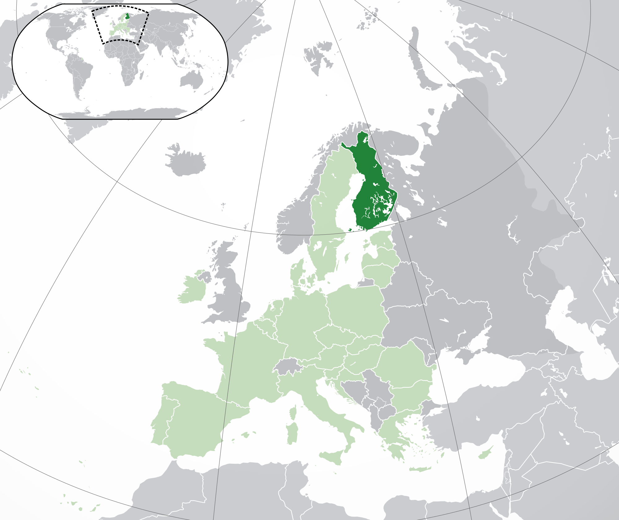
| Description | Location map: Finland w/Åland (dark green) / European Union (light green) / Europe (dark grey); inspired by and consistent with general country locator maps by User:Vardion, et al. |
| Date | |
| Source | Own work |
| Author | Quizimodo |
| Other versions |
|
.jpg)

|
File:EU-Finland.svg is a vector version of this file. It should be used in place of this PNG file when not inferior.
File:Location Finland EU Europe.png → File:EU-Finland.svg
For more information, see Help:SVG. |
 |
Licensing
| This work has been released into the public domain by its author, I, Quizimodo. This applies worldwide. In some countries this may not be legally possible; if so: I, Quizimodo grants anyone the right to use this work for any purpose, without any conditions, unless such conditions are required by law. |
File history
Click on a date/time to view the file as it appeared at that time.
| Date/Time | Thumbnail | Dimensions | User | Comment | |
|---|---|---|---|---|---|
| current | 18:14, 28 July 2020 | | 2,000 × 1,682 (556 KB) | Maphobbyist | Update: UK left the EU |
| 18:43, 18 February 2014 |  | 2,056 × 1,800 (368 KB) | Maphobbyist | Update: Croatia | |
| 19:39, 27 June 2009 |  | 2,056 × 1,800 (378 KB) | Bosonic dressing | Finland w/Åland (dark green) / European Union (light green) / Europe (dark grey); inspired by and consistent with general country locator maps by User:Vardion, et al - updated - wider scope (w/Kosovo) (highlight EU in locator) | |
| 06:02, 17 June 2009 |  | 2,056 × 1,800 (376 KB) | Bosonic dressing | Finland w/Åland (dark green) / European Union (light green) / Europe (dark grey); inspired by and consistent with general country locator maps by User:Vardion, et al - updated - wider scope (w/Kosovo) (fix UK, Faeroes) | |
| 09:47, 16 June 2009 |  | 2,056 × 1,800 (376 KB) | Bosonic dressing | Finland w/Åland (dark green) / European Union (light green) / Europe (dark grey); inspired by and consistent with general country locator maps by User:Vardion, et al - updated - wider scope (w/Kosovo) (fix UK) | |
| 08:43, 16 June 2009 |  | 2,056 × 1,800 (377 KB) | Bosonic dressing | Finland w/Åland (dark green) / European Union (light green) / Europe (dark grey); inspired by and consistent with general country locator maps by User:Vardion, et al - updated - wider scope (w/Kosovo) | |
| 08:28, 16 June 2009 |  | 2,056 × 1,800 (378 KB) | Bosonic dressing | Finland w/Åland (dark green) / European Union (light green) / Europe (dark grey); inspired by and consistent with general country locator maps by User:Vardion, et al - updated - wider scope (w/Kosovo) | |
| 07:37, 16 June 2009 |  | 2,050 × 1,707 (122 KB) | Hayden120 | Restored prior version by user:Skies; there is no particular reason to deviate from the original standard. | |
| 06:48, 16 June 2009 |  | 2,056 × 1,731 (378 KB) | Bosonic dressing | Finland w/Åland (dark green) / European Union (light green) / Europe (dark grey); inspired by and consistent with general country locator maps by User:Vardion, et al - updated (!) | |
| 06:46, 16 June 2009 |  | 2,056 × 1,731 (379 KB) | Bosonic dressing | Finland w/Åland (dark green) / European Union (light green) / Europe (dark grey); inspired by and consistent with general country locator maps by User:Vardion, et al - updated (!) |
File usage
The following 3 pages use this file:
Global file usage
The following other wikis use this file:
- Usage on an.wikipedia.org
- Usage on awa.wikipedia.org
- Usage on bn.wikipedia.org
- Usage on ca.wikipedia.org
- Usage on dz.wikipedia.org
- Usage on en.wikipedia.org
- Usage on eo.wikipedia.org
- Usage on eo.wiktionary.org
- Usage on ext.wikipedia.org
- Usage on gu.wikipedia.org
- Usage on hi.wikipedia.org
- Usage on ki.wikipedia.org
- Usage on krc.wikipedia.org
- Usage on lg.wikipedia.org
- Usage on mai.wikipedia.org
- Usage on ml.wikipedia.org
- Usage on pl.wikivoyage.org
- Usage on pt.wikiquote.org
- Usage on ro.wikipedia.org
- Usage on ro.wikibooks.org
- Usage on sat.wikipedia.org
- Usage on tpi.wikipedia.org
- Usage on zh-classical.wikipedia.org