File:KalatDistrictLocation.PNG

Size of this preview: 656 × 600 pixels. Other resolutions: 263 × 240 pixels | 525 × 480 pixels | 699 × 639 pixels.
Original file (699 × 639 pixels, file size: 23 KB, MIME type: image/png)
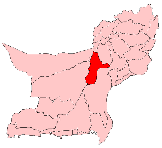
| Description | Map showing location of Kalat district within Pakistan | |||||
| Source | http://en.wikipedia.org/wiki/File:Kalat.PNG | |||||
| Author | User:Aarandir | |||||
| Permission (Reusing this file) |
English Wikipedia user User:Aarandir, the copyright holder of this work, hereby publishes it under the following license:
|

File history
Click on a date/time to view the file as it appeared at that time.
| Date/Time | Thumbnail | Dimensions | User | Comment | |
|---|---|---|---|---|---|
| current | 07:42, 18 April 2010 | | 699 × 639 (23 KB) | Tianyamm2 | {{Information |Description=Map showing location of Kalat district within Pakistan |Source=http://en.wikipedia.org/wiki/File:Kalat.PNG |Date= |Author=User:Aarandir |Permission={{GFDL-user-w|en|English Wikipedia|User:Aarandir}} |other_versions= }} |
File usage
There are no pages that use this file.
Global file usage
The following other wikis use this file:
- Usage on www.wikidata.org