File:Indonesia blank map colored.svg

Size of this PNG preview of this SVG file: 800 × 367 pixels. Other resolutions: 320 × 147 pixels | 640 × 294 pixels | 1,024 × 470 pixels | 1,280 × 587 pixels | 2,560 × 1,175 pixels | 1,876 × 861 pixels.
Original file (SVG file, nominally 1,876 × 861 pixels, file size: 944 KB)
Summary
| Description |
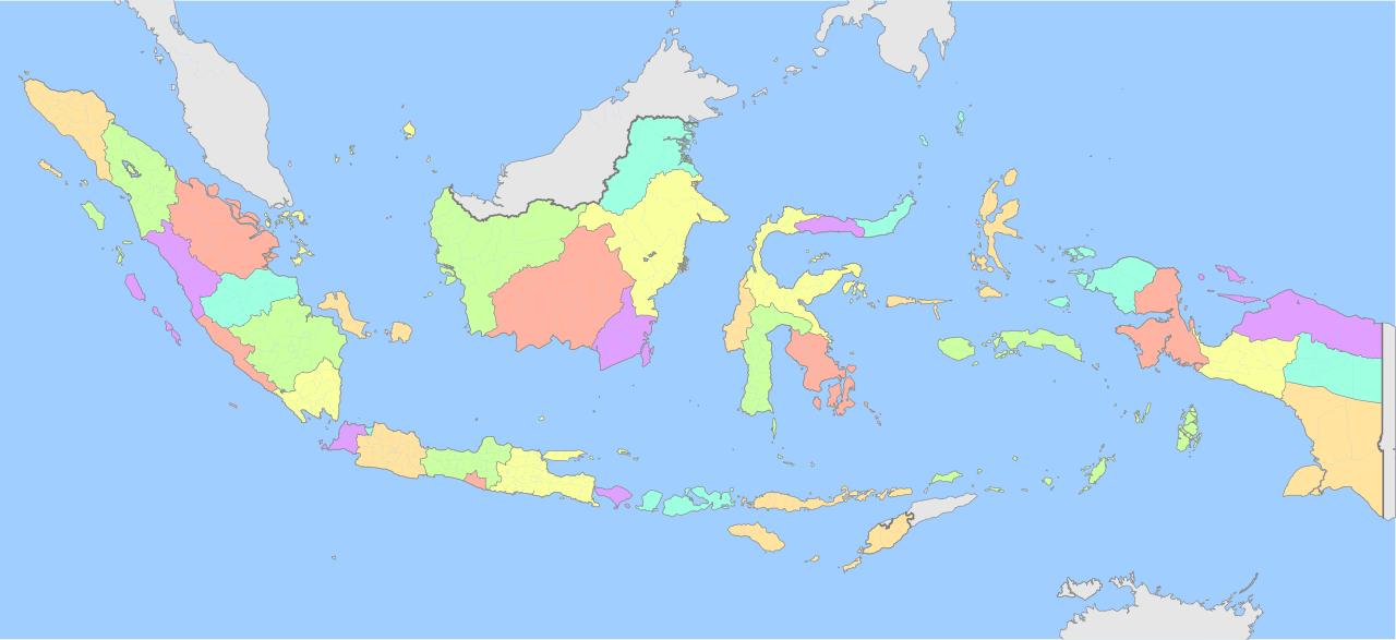
English: Map of Indonesia showing its province in colored |
| Date | |
| Source | Own work |
| Author | Zuanzuanfuwa |
| Permission (Reusing this file) |
ownwork |
| Other versions | File:Peta provinsi Indonesia.png, File:Peta provinsi Indonesia.svg |
Licensing
I, the copyright holder of this work, hereby publish it under the following license:
This file is licensed under the Creative Commons Attribution-Share Alike 3.0 Unported license.
- You are free:
- to share – to copy, distribute and transmit the work
- to remix – to adapt the work
- Under the following conditions:
- attribution – You must give appropriate credit, provide a link to the license, and indicate if changes were made. You may do so in any reasonable manner, but not in any way that suggests the licensor endorses you or your use.
- share alike – If you remix, transform, or build upon the material, you must distribute your contributions under the same or compatible license as the original.
File history
Click on a date/time to view the file as it appeared at that time.
| Date/Time | Thumbnail | Dimensions | User | Comment | |
|---|---|---|---|---|---|
| current | 17:07, 11 December 2022 | | 1,876 × 861 (944 KB) | NordNordWest | upd Papua |
| 13:55, 1 August 2022 |  | 1,876 × 861 (766 KB) | Afrogindahood | Color addition | |
| 14:24, 19 July 2022 |  | 1,875 × 861 (575 KB) | Afrogindahood | Increase SVG decimal to 3 | |
| 14:07, 19 July 2022 |  | 1,875 × 861 (470 KB) | Afrogindahood | Addition of new provinces in Western New Guinea | |
| 05:28, 15 August 2021 |  | 982 × 450 (916 KB) | Afrogindahood | Color enhancements | |
| 13:38, 20 January 2010 |  | 1,322 × 620 (292 KB) | Hariboneagle927 | {{Information |Description={{en|1=Map of Indonesia showing its province in colored}} |Source={{own}} |Author=Zuanzuanfuwa |Date=2010-01-20 |Permission=ownwork |other_versions= }} Category:Maps of Indonesia [[Category:SVG maps of |
File usage
The following 2 pages use this file:
Global file usage
The following other wikis use this file:
- Usage on fa.wikipedia.org
- Usage on mzn.wikipedia.org
- Usage on www.wikidata.org