File:Colombia Political Locator.svg

Size of this PNG preview of this SVG file: 528 × 599 pixels. Other resolutions: 211 × 240 pixels | 423 × 480 pixels | 677 × 768 pixels | 902 × 1,024 pixels | 1,805 × 2,048 pixels | 1,002 × 1,137 pixels.
Original file (SVG file, nominally 1,002 × 1,137 pixels, file size: 506 KB)
Summary
| Description |
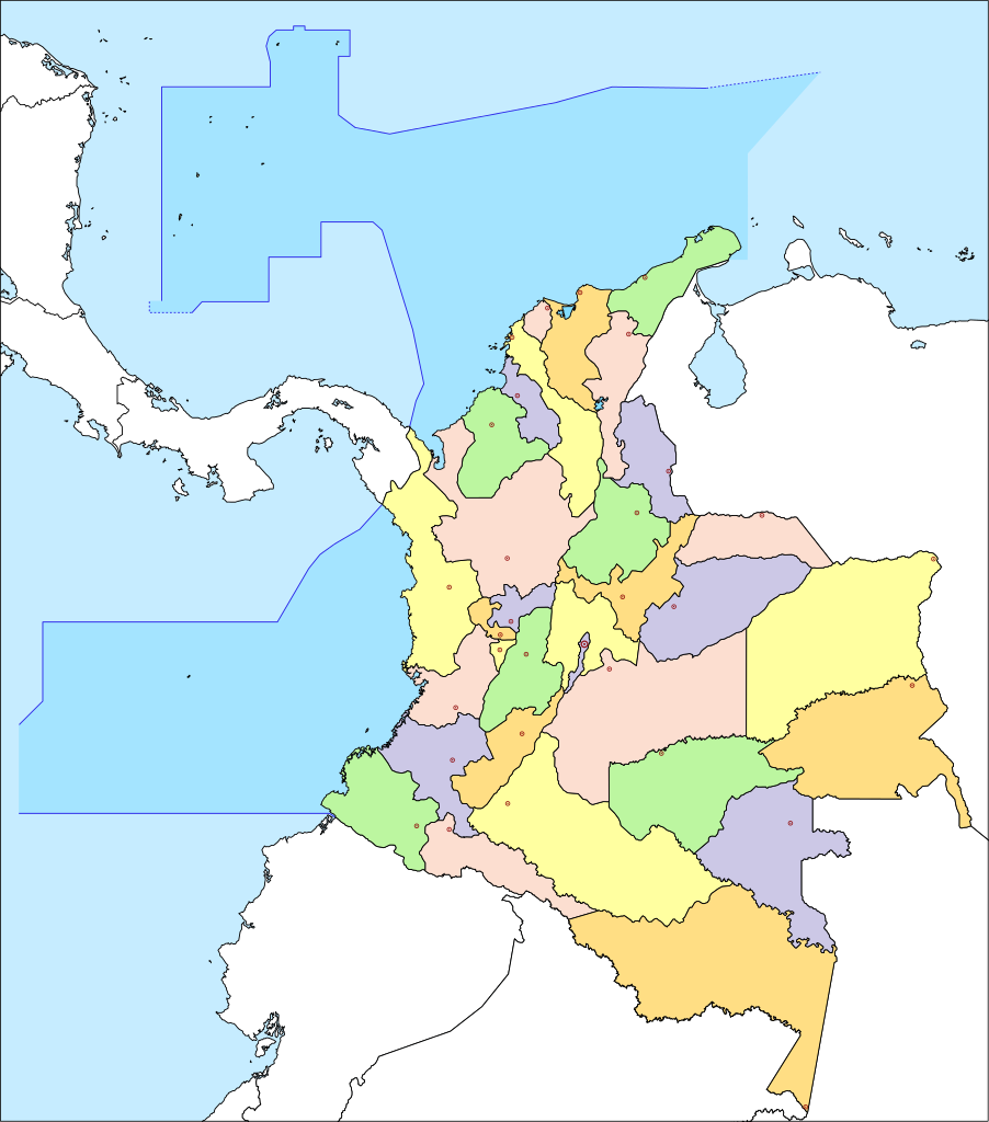
English: Political Locator Map of Colombia
Español: Mapa Localizador Político de Colombia |
| Date | |
| Source | Own work |
| Author | Milenioscuro |
| Other versions |
.svg) |
Licensing
I, the copyright holder of this work, hereby publish it under the following license:
This file is licensed under the Creative Commons Attribution-Share Alike 3.0 Unported license.
- You are free:
- to share – to copy, distribute and transmit the work
- to remix – to adapt the work
- Under the following conditions:
- attribution – You must give appropriate credit, provide a link to the license, and indicate if changes were made. You may do so in any reasonable manner, but not in any way that suggests the licensor endorses you or your use.
- share alike – If you remix, transform, or build upon the material, you must distribute your contributions under the same or compatible license as the original.
File history
Click on a date/time to view the file as it appeared at that time.
| Date/Time | Thumbnail | Dimensions | User | Comment | |
|---|---|---|---|---|---|
| current | 06:24, 10 July 2011 | | 1,002 × 1,137 (506 KB) | Milenioscuro | recorto las areas sobrantes |
| 18:26, 3 April 2010 |  | 1,134 × 1,338 (508 KB) | Milenioscuro | fronteras marinas y puntos capitales | |
| 07:16, 19 December 2009 |  | 1,134 × 1,338 (462 KB) | Milenioscuro | colores y trasparencia | |
| 16:53, 3 August 2009 |  | 1,134 × 1,338 (460 KB) | Milenioscuro | minimos cambios | |
| 03:00, 14 July 2009 |  | 1,134 × 1,338 (473 KB) | Milenioscuro | corregidas fronteras maritimas | |
| 03:34, 4 June 2009 |  | 1,134 × 1,338 (470 KB) | Milenioscuro | colors | |
| 02:47, 30 May 2009 |  | 1,134 × 1,338 (470 KB) | Milenioscuro | colores | |
| 22:56, 21 May 2009 |  | 1,134 × 1,338 (469 KB) | Milenioscuro | {{Information |Description={{en|1=Political Locator Map of Colombia}} {{es|1=Mapa Localizador Político de Colombia}} |Source=trabajo propio (own work) |Author=Shadowxfox |Date=2009 |Permission= |other_versions= }} <!--{{ImageUpload|f |
File usage
There are no pages that use this file.
Global file usage
The following other wikis use this file:
- Usage on guc.wikipedia.org