File:Arabian Peninsula.PNG
No higher resolution available.
Arabian_Peninsula.PNG (461 × 394 pixels, file size: 13 KB, MIME type: image/png)
Summary
| Description |
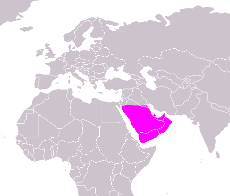
English: Map of the Arabian Peninsula. |
| Date | 26 March 2006 (original upload date) |
| Source | Own work |
| Author | SpLoT |
Licensing
| |
This work has been released into the public domain by its author, SpLoT, at the English Wikipedia project. This applies worldwide. In case this is not legally possible: |
Original upload log
The original description page was here. All following user names refer to en.wikipedia.
- 2006-03-26 04:11 SpLoT 461×394× (15757 bytes) {{PD-self}}
File history
Click on a date/time to view the file as it appeared at that time.
| Date/Time | Thumbnail | Dimensions | User | Comment | |
|---|---|---|---|---|---|
| current | 02:45, 4 January 2020 | | 461 × 394 (13 KB) | Sariyr | Northern border line between the Gulf of Akaba an the Kuwait Bay. |
| 02:20, 21 May 2011 |  | 461 × 394 (15 KB) | TFCforever | == {{int:filedesc}} == {{Information |Description={{en|Map of the Arabian Peninsula.}} |Source={{own}} |Date={{Original upload date|2006-03-26}} |Author=SpLoT |Permission= |other_versions= }} == {{int:license}} == {{PD-user- |
File usage
There are no pages that use this file.
Global file usage
The following other wikis use this file:
- Usage on ckb.wikipedia.org
- Usage on en.wikipedia.org
- Usage on fr.wiktionary.org